
You know the roads. Now your map does, too.
From a bare piece of ground to directions someone else can follow, in four moves.
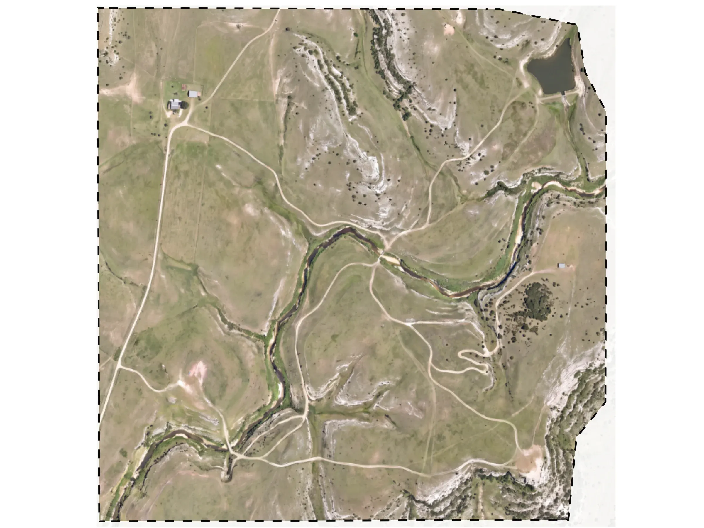
Start with the ground.
Begin on a standard basemap, or add your own aerial or drone imagery when the standard map isn’t detailed enough.
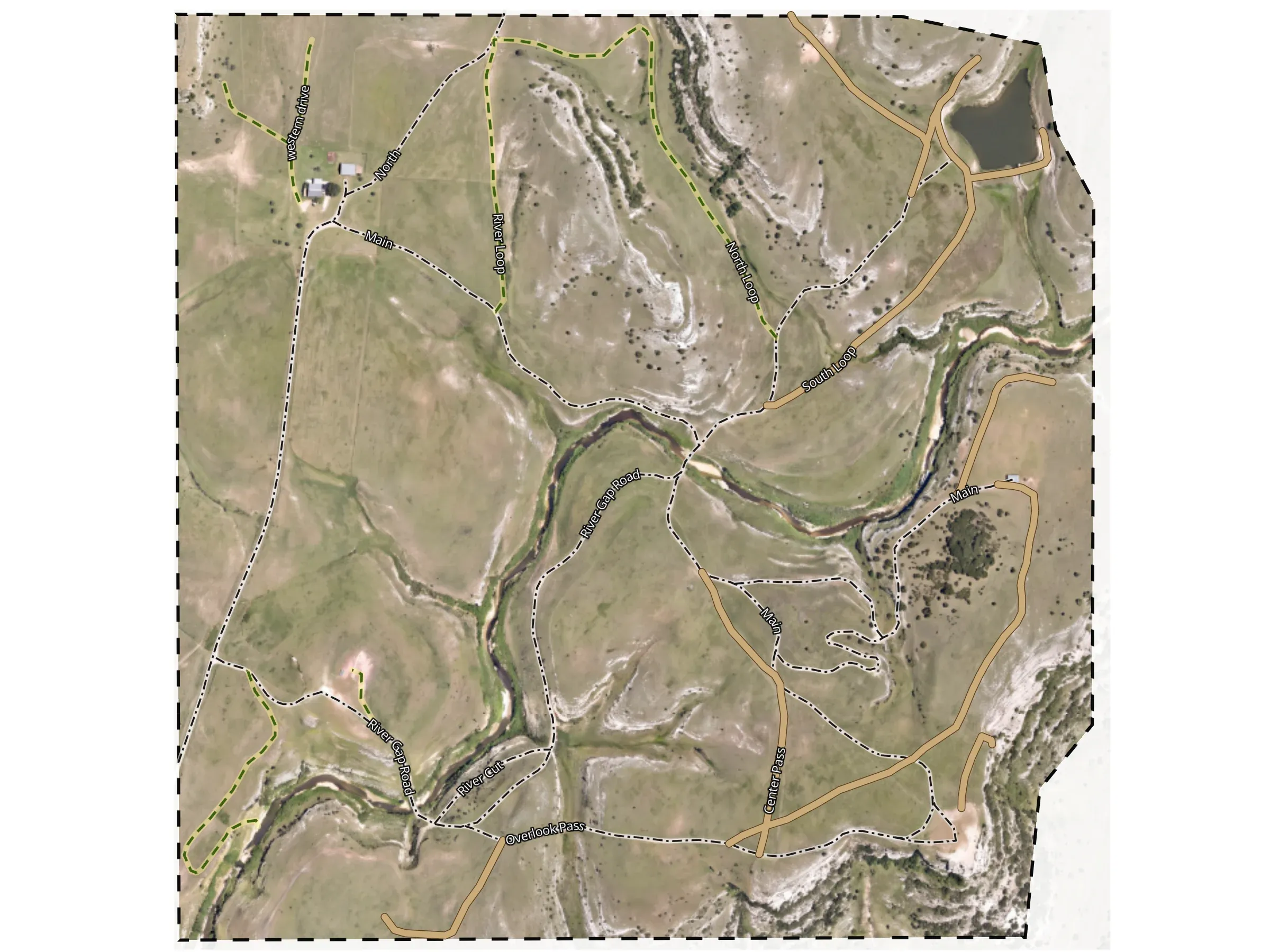
Draw the roads only you know.
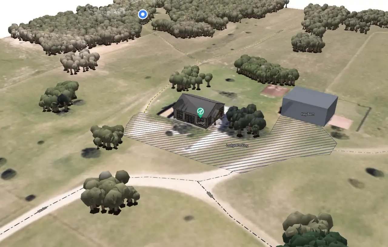
Trace the ranch roads, two-tracks and trails. Name them and give each one a style, so a gravel drive doesn’t look like a pasture track.
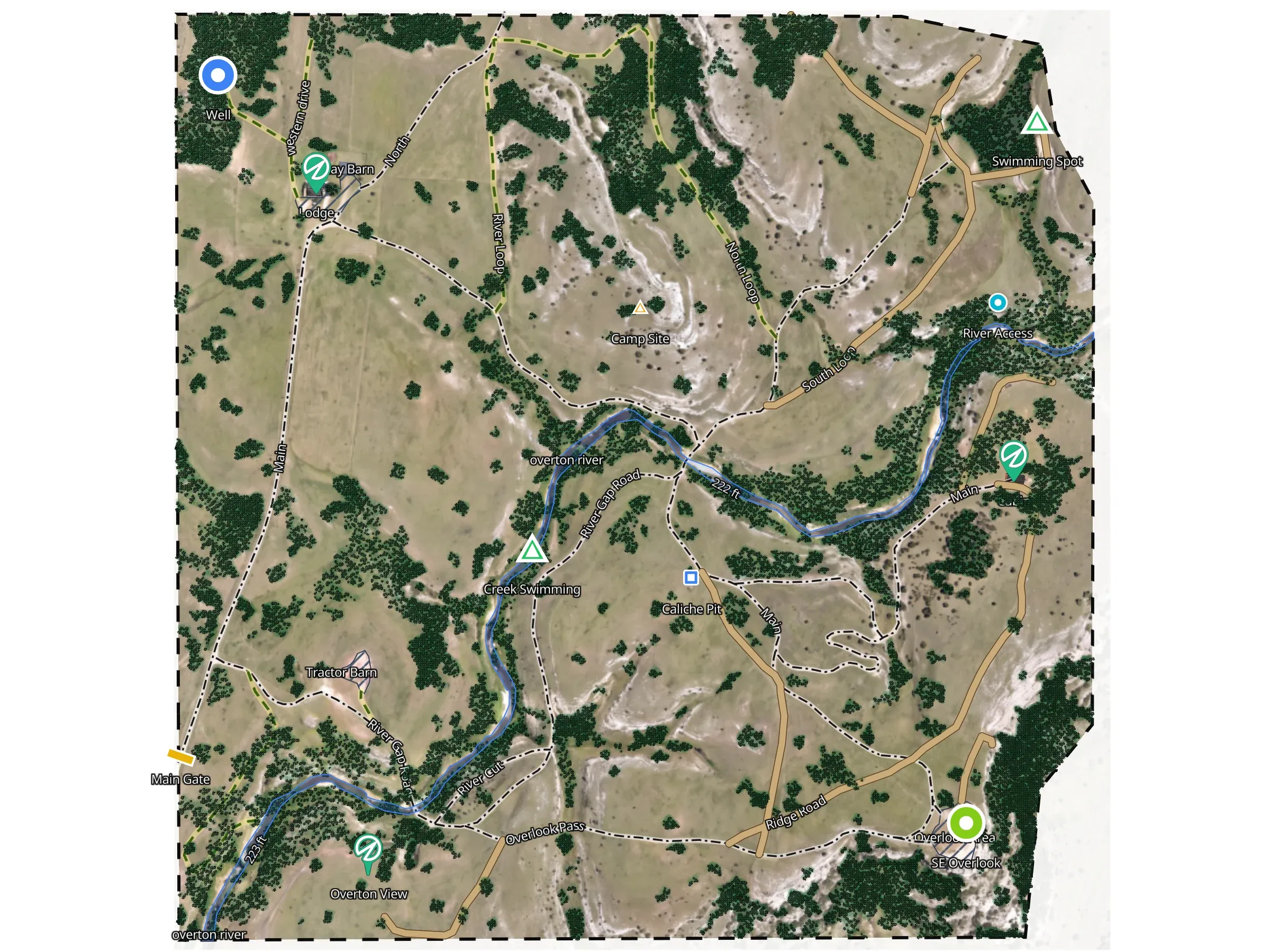
Name the places people ask about.
Mark the gate, the lodge, the well and the camp site. Outline the river and the parking. “The cabin” now means one place to everyone.
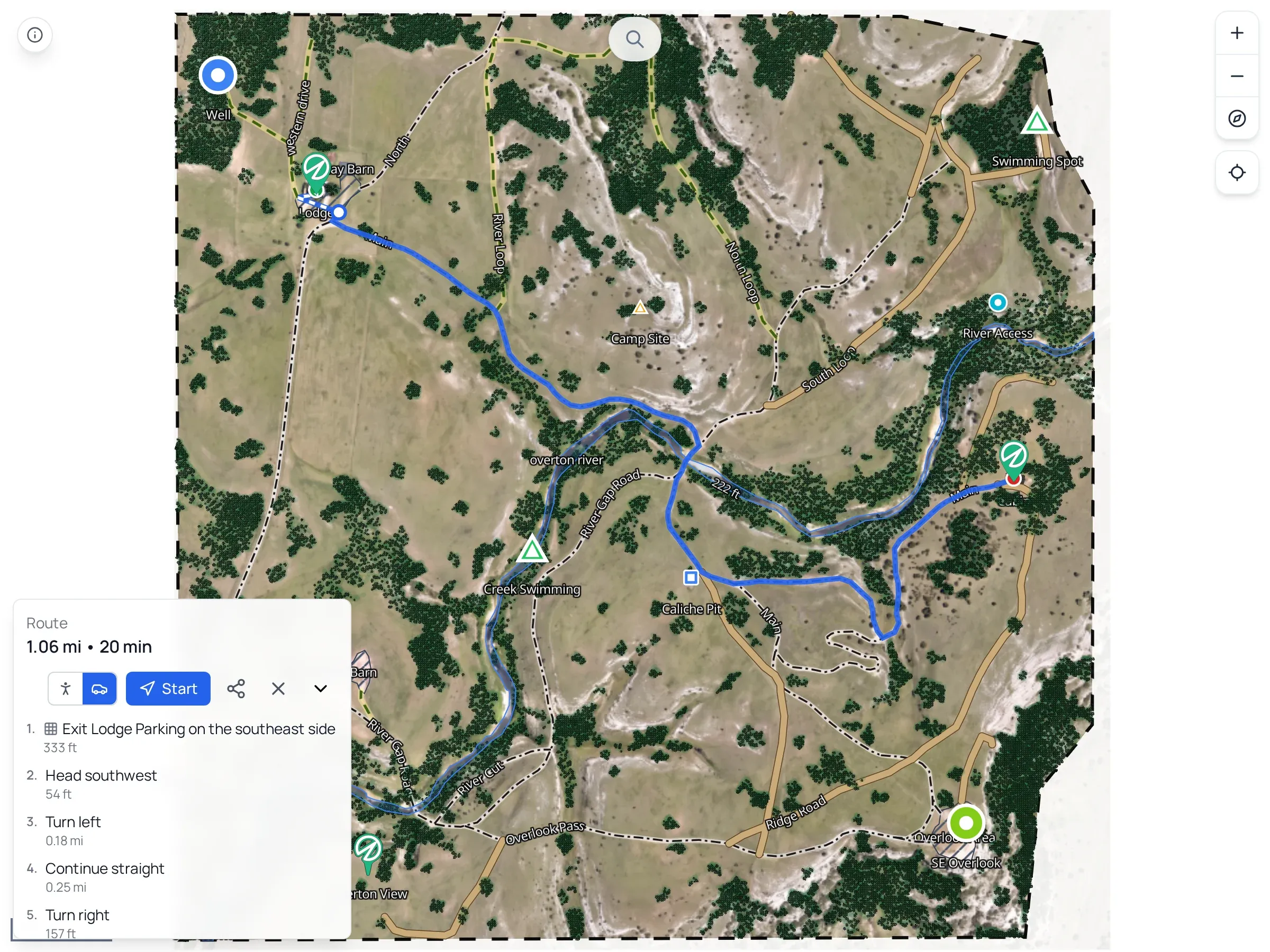
Get directions on your roads.
Your roads connect into a network. Pick where someone starts and where they need to be, and the route follows the roads you drew.


Put your roads on the map.
Start with the gate. Add the places people need to find. Send the route when someone needs to get there.
- Making maps is free
- You pay only to share
- Guests never pay